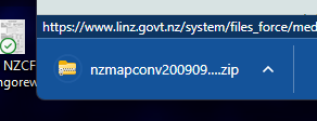
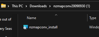
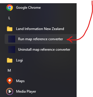
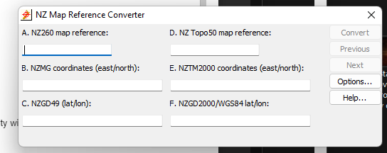
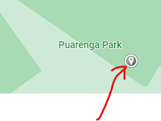
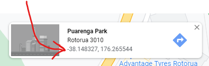
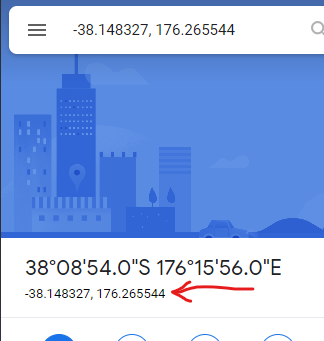
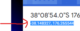
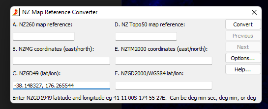
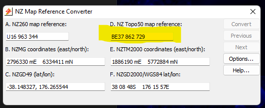
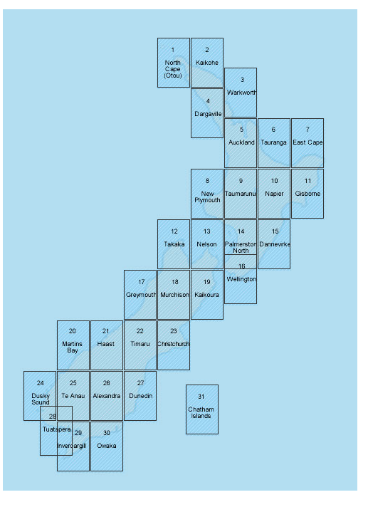
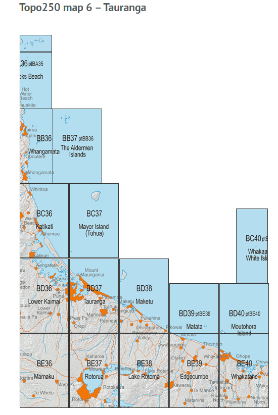
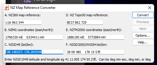
NZCF 11 and NZCF 12 Grid References The purpose of this page is to outline a way to get a NZ Topo 50 Grid Reference without having to refer to an actual map.You will need the Internet to access Google Maps, and a windows program freely available from LINZ (the Topo map people!) Before you can do this... Go here https://www.linz.govt.nz/data/geodetic-system/download-geodetic-software/nz-map-reference-converter-download Go the bottom of the page and click on the link to download You will have downloaded it.Click on this: Then you will see Click (or double-click) on nzmapconv_install to install the software. Follow the prompts and make all the usual choices. After installation, you will now have the “map reference converter”. It should appear under L (for LINZ / Land Information New Zealand Run the program: Next... Go to Google maps. Click on the place the activity will take place or where it will start (in case you are moving around)You’ll get a marker, like this Then at the bottom of the page you’ll see this Click on those numbersOn the left, you now see this Highlight the line being pointed at, and copy it Switch to the LINZ NZ Map Reference Converter and paste the information into the bottom left field as shown below Click the Convert button The NZ Topo50 map reference is now shown. BE37 is the map code. You should add the name as well (Shown below), and the GR (Grid reference) is 862729 To get the map NAME, go herehttps://www.linz.govt.nz/land/maps/linz-topographic-maps/map-chooser Click on the map near your activity location You can now see the BE37 map that the converter told us about. It’s name is Rotorua So the full GR for your NZCF 11 is: BE37 Rotorua 862729 That goes here on the NZCF 11 For this box Go back to the converter Copy the original value you got from Google Maps, and put that in the Gr/Lat long: field on the NZCF 11. Done. Once you’ve done it a few times, it’s simple and quick. No need to pull out a paper map and eyeball it. Especially handy when you need to produce a number of GRs for a tramp (start/end, camp site, ex areas, etc)